Map maker / Labeled maps
World Map with Country Names
Country names placed at the center of each country. Zoom in and the smaller ones appear; switch to ISO codes if the map feels crowded.
PDFs are vector, US Letter, with a name line for worksheets. They print sharp at any size.
What's on this map
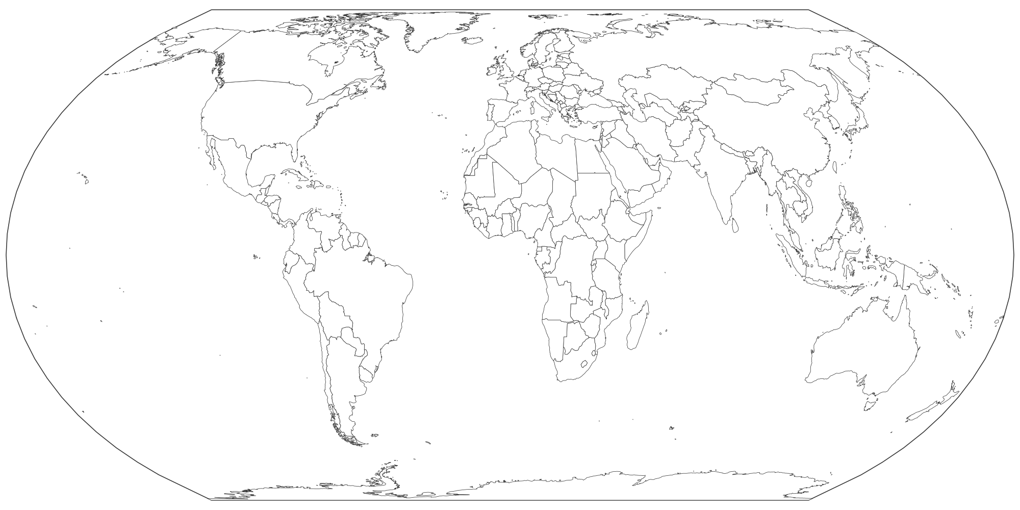
This map shows names for all 197 countries, shown by size so the printed map stays readable. Every region is a separate shape: tap to color it, or download the blank file as it is.
- Names are scaled to each country's area, so large countries get big labels and micro-states only show when you zoom or print at poster size.
- Switch the Labels tab to "Codes" for two-letter ISO 3166 codes (FR, BR, JP), which fit on small countries and are handy for quizzes.
- Hover (or search) any country to see its name even when labels are off.
How to make your own World with country names map
- Paint. Pick a color under "Paint with" and tap regions. Tap again to clear. Rename each color to build the legend.
- Label. Turn on names or codes, or drop text labels and pins anywhere on the map.
- Color from data. Paste a list of names and numbers in the Data tab for an instant shaded map.
- Export. PNG for slides, SVG for editing, or print to paper or PDF. Your work autosaves in this browser.
Good uses
- Wall map for a classroom or home office.
- Reference sheet next to a blank map for label-the-country practice.
- Slides that need a quick labeled overview.
Questions
Why are some small countries not labeled?
Labels smaller than about 4 pixels are hidden so they don't overlap. Zoom in to see them in the editor, use the "PNG, print size" export (4× resolution), or add your own text label anywhere with the Labels tab.
Can I get a world map without names?
Yes: open the blank world map, or switch "Region names" to Off in the Labels tab.
Is this blank map of the world free to print?
Yes. Download the PNG, SVG or print it straight from the browser. There is no account, no watermark over the map and no limit. A small "mapeditor.io" credit sits in the corner of exports.
Can I edit the SVG in other software?
Yes. Every region is a separate, named path, so you can recolor it in Illustrator, Inkscape, Figma, Affinity Designer, PowerPoint or Google Slides.