Map maker / Blank maps
Blank World Map
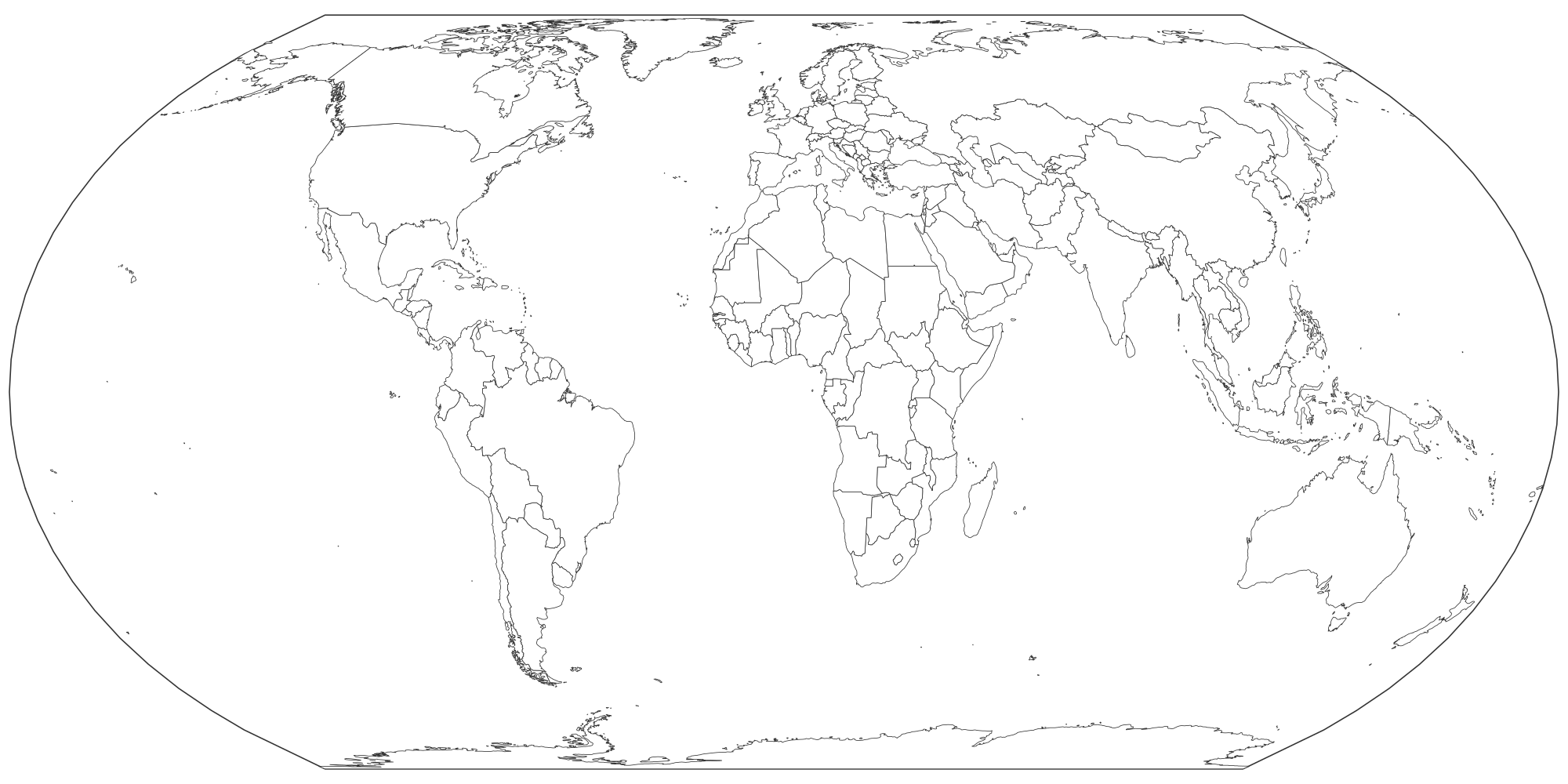
Every country outlined on an Equal Earth projection, ready to print as a worksheet or color in right here.
PDFs are vector, US Letter, with a name line for worksheets. They print sharp at any size.
What's on this map
This map shows 197 sovereign countries plus territories such as Greenland, Western Sahara and French Guiana. Every region is a separate shape: tap to color it, or download the blank file as it is.
- The map uses the Equal Earth projection (Šavrič, Patterson & Jenny, 2018), so Africa and South America keep their true size relative to Greenland and Europe.
- Borders follow Natural Earth, which shows de facto control. Disputed areas such as Kashmir, Western Sahara, Kosovo and northern Cyprus are drawn as separate shapes you can color or leave blank.
- The 197 counted countries are the 193 UN members, the two observer states (Vatican City and Palestine), plus Kosovo and Taiwan.
How to make your own World map
- Paint. Pick a color under "Paint with" and tap regions. Tap again to clear. Rename each color to build the legend.
- Label. Turn on names or codes, or drop text labels and pins anywhere on the map.
- Color from data. Paste a list of names and numbers in the Data tab for an instant shaded map.
- Export. PNG for slides, SVG for editing, or print to paper or PDF. Your work autosaves in this browser.
Test yourself
Ready to check what you've learned? Try the World map quiz: we name a place, you tap it on this same map.
Good uses
- Geography worksheets: students color continents or label oceans.
- Outline for a world map of sales regions, offices or customers.
- A base for a "countries I have visited" poster.
Questions
Which projection is best for a blank world map?
For classrooms, an equal-area projection like Equal Earth is best because country sizes are comparable. Mercator exaggerates countries near the poles: Greenland looks as big as Africa but is about 14 times smaller.
Is this blank map of the world free to print?
Yes. Download the PNG, SVG or print it straight from the browser. There is no account, no watermark over the map and no limit. A small "mapeditor.io" credit sits in the corner of exports.
Can I edit the SVG in other software?
Yes. Every region is a separate, named path, so you can recolor it in Illustrator, Inkscape, Figma, Affinity Designer, PowerPoint or Google Slides.