Map maker / Labeled maps
Labeled Map of South America
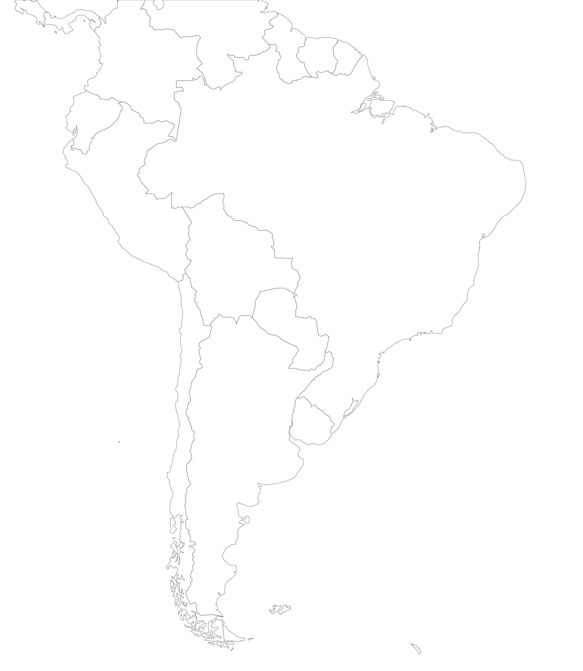
All 12 countries named, plus French Guiana and the Falkland Islands, sized for a portrait worksheet.
PDFs are vector, US Letter, with a name line for worksheets. They print sharp at any size.
What's on this map
This map shows the 12 sovereign countries plus French Guiana and the Falkland Islands, all labeled. Every region is a separate shape: tap to color it, or download the blank file as it is.
- With only 12 countries, every label is readable on a printed page without zooming.
- Brazil covers nearly half of the continent's land area.
- Bolivia and Paraguay are the two landlocked countries.
How to make your own South America with country names map
- Paint. Pick a color under "Paint with" and tap regions. Tap again to clear. Rename each color to build the legend.
- Label. Turn on names or codes, or drop text labels and pins anywhere on the map.
- Color from data. Paste a list of names and numbers in the Data tab for an instant shaded map.
- Export. PNG for slides, SVG for editing, or print to paper or PDF. Your work autosaves in this browser.
Test yourself
Ready to check what you've learned? Try the South America with country names map quiz: we name a place, you tap it on this same map.
Good uses
- Answer key for a South America label-the-countries test.
- A base for a Spanish or Portuguese language map.
- Trip planning across the Andes.
Questions
What are the 12 countries of South America?
Argentina, Bolivia, Brazil, Chile, Colombia, Ecuador, Guyana, Paraguay, Peru, Suriname, Uruguay and Venezuela. French Guiana (France) and the Falklands (UK) are territories.
Is there a blank version of this South America map?
Yes. The blank map of South America has the same outlines with no names, as a printable PDF and an SVG. Students fill in the blank one; this labeled one is the answer key.
Can I change or remove a label?
Switch "Region names" in the Labels tab between Names, Codes and Off. To rename or annotate a place, add your own text label and drag it where you want; exports include your labels.
Is it free to print and share?
Yes. No account, no watermark over the map. A small "mapeditor.io" credit sits in the corner of exports, and the boundary data is public domain.