Map maker / Blank maps
Blank US Map
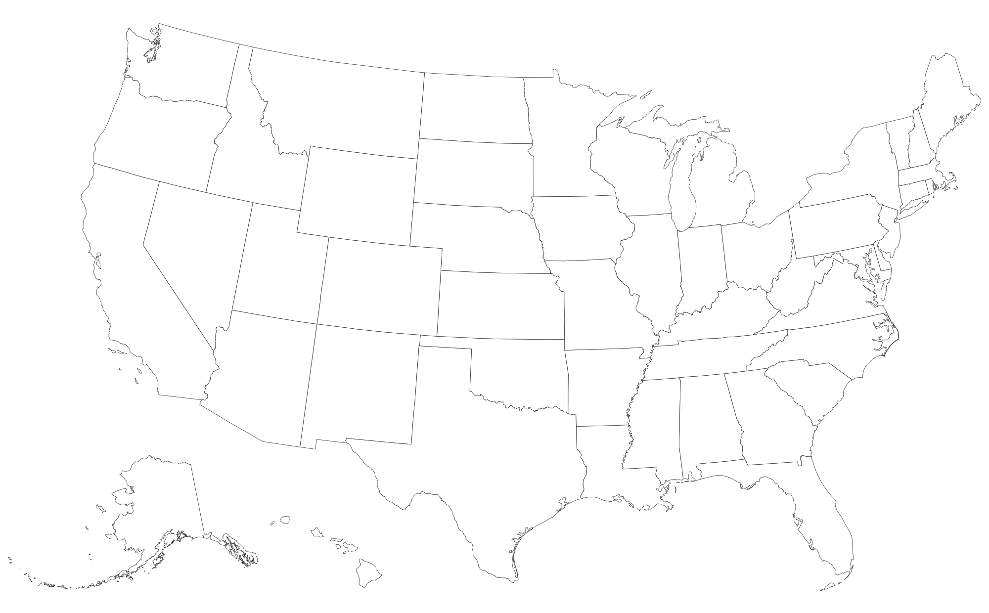
All 50 states plus Washington, D.C., with Alaska and Hawaii inset in the usual Albers USA layout.
PDFs are vector, US Letter, with a name line for worksheets. They print sharp at any size.
What's on this map
This map shows 50 states and the District of Columbia. Every region is a separate shape: tap to color it, or download the blank file as it is.
- The layout is the Albers equal-area conic projection used by the US Census Bureau, with Alaska and Hawaii moved and scaled into insets. Alaska is shown smaller than its true size, which is about a fifth of the lower 48.
- Turn on "Codes" to show USPS two-letter abbreviations, which fit even on Rhode Island and Delaware.
- Boundaries come from the Census Bureau's cartographic boundary files via the us-atlas project. Need capitals too? Use the US map with capitals page or tick "State capitals" in the Labels tab.
How to make your own United States map
- Paint. Pick a color under "Paint with" and tap regions. Tap again to clear. Rename each color to build the legend.
- Label. Turn on names or codes, or drop text labels and pins anywhere on the map.
- Color from data. Paste a list of names and numbers in the Data tab for an instant shaded map.
- Export. PNG for slides, SVG for editing, or print to paper or PDF. Your work autosaves in this browser.
Test yourself
Ready to check what you've learned? Try the United States map quiz: we name a place, you tap it on this same map.
Good uses
- State capitals and regions worksheets.
- Sales territories or franchise coverage.
- Election or poll results by state (use the Data tab).
Questions
Does the map include Alaska and Hawaii?
Yes. They sit in insets at the lower left, as on most printed US maps. Both are clickable and count toward totals.
Can I show state abbreviations?
Yes. In the Labels tab choose "Codes" for AL, AK, AZ and so on, or "Names" for full state names.
Is this blank map of the United States free to print?
Yes. Download the PNG, SVG or print it straight from the browser. There is no account, no watermark over the map and no limit. A small "mapeditor.io" credit sits in the corner of exports.
Can I edit the SVG in other software?
Yes. Every region is a separate, named path, so you can recolor it in Illustrator, Inkscape, Figma, Affinity Designer, PowerPoint or Google Slides.