Map maker / Labeled maps
US Map with Capitals
Every state with its capital city marked. Print the PDF for a study sheet, or color it and add your own labels before exporting.
PDFs are vector, US Letter, with a name line for worksheets. They print sharp at any size.
What's on this map
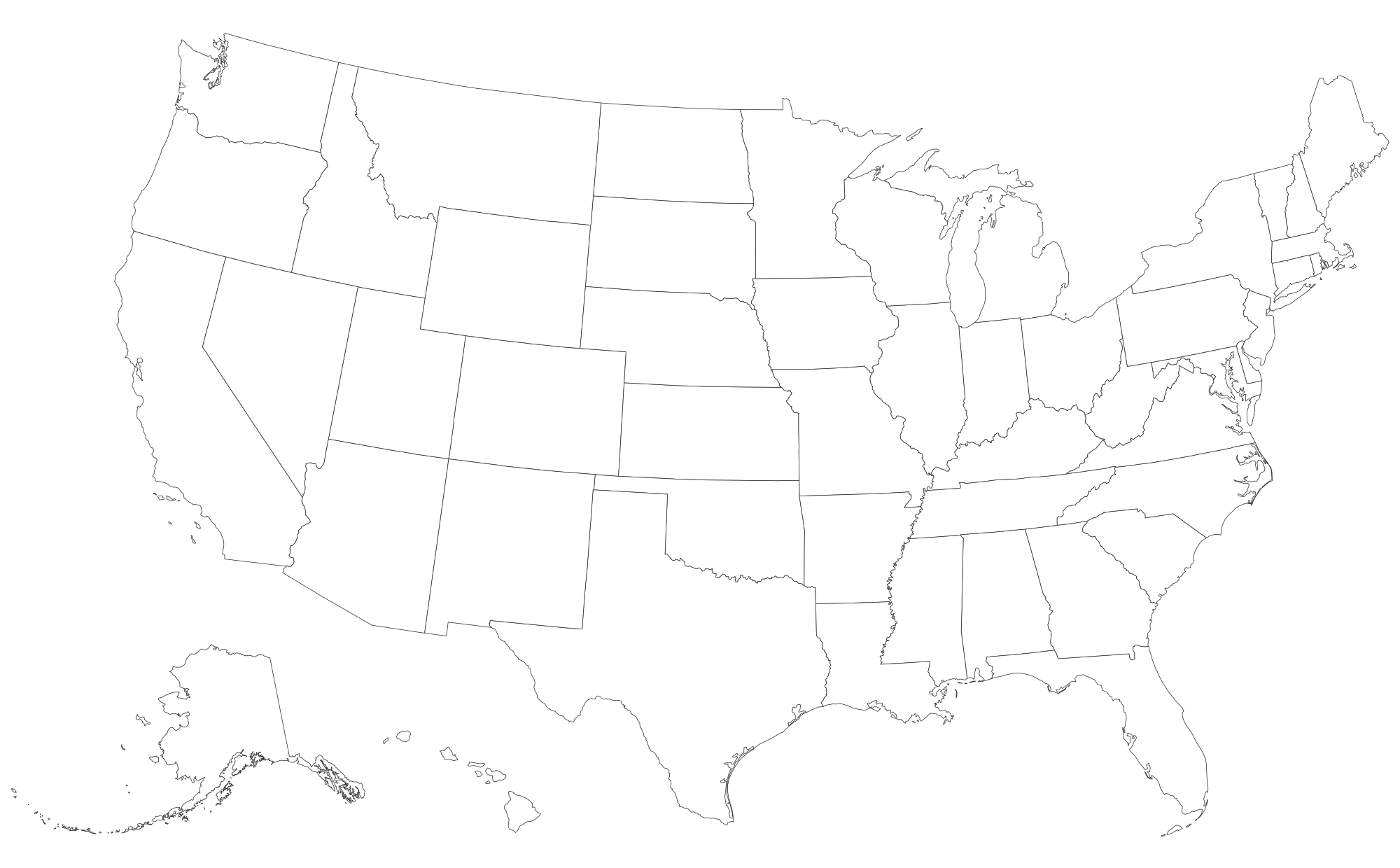
This map shows all 50 states with their capitals, plus Washington, D.C.. Every region is a separate shape: tap to color it, or download the blank file as it is.
- Capitals are plotted from their geographic coordinates, so each dot sits where the city actually is: Juneau in Alaska's panhandle, Honolulu on Oʻahu.
- Only 17 state capitals are also the state's largest city, among them Phoenix, Boston, Atlanta, Denver and Honolulu (US Census Bureau city population estimates).
- On the printable PDF, small Northeastern states get their capital listed in a footnote so the map stays readable.
How to make your own US with capitals map
- Paint. Pick a color under "Paint with" and tap regions. Tap again to clear. Rename each color to build the legend.
- Label. Turn on names or codes, or drop text labels and pins anywhere on the map.
- Color from data. Paste a list of names and numbers in the Data tab for an instant shaded map.
- Export. PNG for slides, SVG for editing, or print to paper or PDF. Your work autosaves in this browser.
Test yourself
Ready to check what you've learned? Try the states and capitals quiz: we name a place, you tap it on this same map.
Good uses
- States and capitals study sheet or answer key.
- A base for a road-trip map that visits every capitol building.
- Civics lessons on state governments.
Questions
What are the 50 state capitals?
They are all marked on the map above and the PDF. Some that people often get wrong: Albany (New York), Sacramento (California), Springfield (Illinois), Tallahassee (Florida), Harrisburg (Pennsylvania), Olympia (Washington), Pierre (South Dakota) and Montpelier (Vermont).
Is there a quiz for state capitals?
Yes: the states and capitals quiz names a capital and you tap its state on the map.
Can I hide the capitals?
Yes. In the editor's Labels tab, untick "State capitals". Download the blank US map PDF for a version with no names at all.